IIT Gandhinagar study finds five-fold decline in Ravi river’s surface water
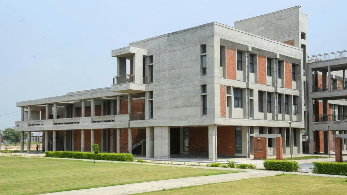
Indian Institute of Technology Gandhinagar (IITGN) researchers examined changes in the Ravi River and found that its estimated surface-water area fell five-fold, from 17.35 sq. km to 3.46 sq. km, following the commencement of operations at the Ranjit Sagar reservoir in 2001, according to the research.
Based on three decades of river discharge data and satellite imagery, the researchers mapped changes in river flow, surface-water extent, vegetation, channel pathways and human activity across the downstream floodplain. Published in Next Sustainability, the findings highlight the importance of accounting for changes in river processes and structure in reservoir planning.
The seasonal water flow parameters of the pre-monsoon dataset for four decades were analyzed during specific periods. The study noted that "The team chose April and May (pre-monsoon months) to avoid additional release of water from the reservoir", and found that"median discharge fell from 296 cubic metres per second during 1980–2000 to 221 cubic metres per second during 2001–2019”.
Also read | BITS Pilani, IIT Madras sign agreement to boost academic collaboration via student exchange, joint research
IIT Gandhinagar study on Ravi river water decline
The researchers highlighted that altered water regulation and human interventions are reshaping the river's balance. "In dryland regions, where water availability is already limited, communities and ecosystems may depend on seasonal flows," said Indra Mani Tripathi, first author and postdoctoral research associate at IITGN. He also added, "even relatively small changes in water can have impacts on biodiversity, water availability, and ecosystem functioning in such systems."
Active water areas were reduced and vegetation has expanded into parts of the dynamic floodplain. High-resolution images also revealed artificial pits and changes in the river flow due to sand mining and human activities. “A sustained change in flow impacts the river’s ability to transport sediment, which further leads to changes in river morphology and floodplain processes,” says Vikrant Jain, professor and head of the department of Earth Sciences at IITGN.
The authors highlighted the importance of integrated management strategies considering flow changes, sediment movement, and land use. Ankit Modi, a former research associate at IITGN and assistant professor at Gujarat Technical University, said, “Understanding these interactions gives us an opportunity to identify where interventions can help us maintain a healthy balance between human use and river processes. The results are in agreement with the guidelines of Central Water Commission, National Water Mission of India and UN Sustainable Development Goal 6.