IIT Roorkee study finds flood and drought vulnerabilities are converging across Indian districts
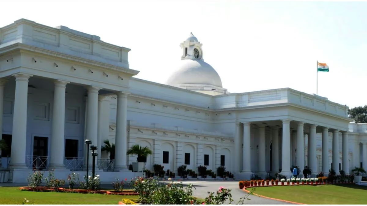
A new study by researchers at the Indian Institute of Technology, Roorkee, discovered that flood and drought vulnerabilities are increasingly converging across districts in India. The study, published in npj Natural Hazards, a Nature Portfolio journal, demonstrates that these hydrological extremes are not happening in isolation but more and more frequently coincide within the same geographic and socio-economic systems.
Multi-Hazard Vulnerability Index (MHVI) has been created for 591 districts for the years 2001 and 2011. It is created based on using the ‘nationally consistent and granular socio-economic, demographic, and infrastructure data’. In 2011, more than one-fifth of the districts were deemed extremely sensitive to flooding, while nearly one-fifth were deemed extremely vulnerable to drought. Over 10% of the districts were in the upper MHVI category.
Mohit Prakash Mohanty, who led the study, emphasised the need for a unified approach to disaster preparedness. “Floods and droughts are often treated as separate risks, but their consequences are experienced by communities within the same social and physical systems,” Mohanty said, adding that “a district-level understanding of these patterns can help identify where integrated approaches to preparedness and adaptation may be most relevant.”
Also read | ANRF partners with Azim Premji Foundation to accelerate research and innovation over the next 5 years
Multi-hazard hotspots
Mostly the northern and eastern regions of India have the multi-hazard hotspots, as per the study. And states like Odisha, Andhra Pradesh, Maharashtra, Rajasthan, Jharkhand and Jammu and Kashmir witnessed increasing flood and drought vulnerability in various districts.
The researchers pointed out that assessing climate risks only at the state level can mask important local differences. The study provides a practical tool to uncover where communities face multiple environmental pressures and where climate adaptation resources should be prioritised through a fine-grained analysis at the district level.
The study is supported by the Department of Science and Technology (DST) through the Integrated Center for Adaptation to Climate Change, Disaster Risk Reduction, and Sustainability (ICARS) and provides a foundation for risk-informed adaptation planning. But the researchers explained that the index reflects relative distribution patterns, not a deterministic prediction of specific disaster losses.